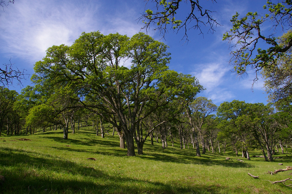
There were a dozen of
us today. We all started together walking out Miwok Tr. Susan,
Geoff, Monique and Polly left the rest of us at the junction
with the Hardy Canyon Tr which they took for their return route.
The rest of us walked on into Round Valley and then out the Fox
Tail Trail, returning the way we had come. The Deer complex
fires of last September burned into the Preserve, but we saw
little evidence at close range. However the steep slopes which
form the eastern edge of Morgan Territory preserve were
obviously affected.
The map is approximate as we often left the fire road trail to
follow parallel cow paths along the creek course or thru the
woods. Map distance was 4.7 miles (approx) for the main group
and 4.5 miles for the smaller group, but they had _much_ more
elevation gain.
https://www.flickr.com/gp/momcat_ksw/6Se16f
No comments:
Post a Comment